 https://canadiangis.com/wp-content/uploads/Ottawa-GIS-jobs-.jpg
1284
1920
tmackinnon
https://canadiangis.com/wp-content/uploads/CanadianGIS-rec-logo-2021-v4.png
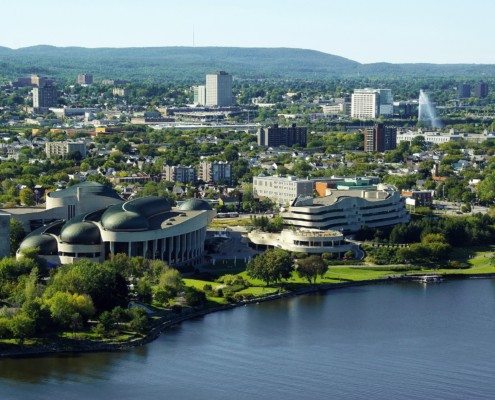
tmackinnon2023-05-18 13:01:092023-05-18 12:59:12GIS jobs in Ottawa
https://canadiangis.com/wp-content/uploads/Ottawa-GIS-jobs-.jpg
1284
1920
tmackinnon
https://canadiangis.com/wp-content/uploads/CanadianGIS-rec-logo-2021-v4.png
tmackinnon2023-05-18 13:01:092023-05-18 12:59:12GIS jobs in OttawaCanadian GIS Jobs
 Often the hardest job people encounter during their career is the process of finding a good job, especially in a specialized niche like Geomatics.
Therefore if you are looking for a GIS job in the geomatics sector then one of the first places to start your search is on a job that board specializes in geospatial jobs.
We started our GIS job board back in 2004 and dedicated it to promoting Canadian jobs. Besides being a central location to find GIS jobs, it also allows job seekers to post their geospatial resumes for free and employers to post their GIS & geomatics job opportunities.
Jobs separated by Province:
More GIS jobs related posts:
 https://canadiangis.com/wp-content/uploads/Ottawa-GIS-jobs-.jpg
1284
1920
tmackinnon
https://canadiangis.com/wp-content/uploads/CanadianGIS-rec-logo-2021-v4.png
tmackinnon2023-05-18 13:01:092023-05-18 12:59:12GIS jobs in Ottawa
 https://canadiangis.com/wp-content/uploads/CanadianGIS-rec-logo-2021-v4.png
0
0
tmackinnon
https://canadiangis.com/wp-content/uploads/CanadianGIS-rec-logo-2021-v4.png
tmackinnon2023-03-14 22:57:322023-05-16 12:55:59GIS jobs in Alberta
https://canadiangis.com/wp-content/uploads/CanadianGIS-rec-logo-2021-v4.png
0
0
tmackinnon
https://canadiangis.com/wp-content/uploads/CanadianGIS-rec-logo-2021-v4.png
tmackinnon2023-03-14 22:57:322023-05-16 12:55:59GIS jobs in Alberta https://canadiangis.com/wp-content/uploads/Manitoba.jpg
720
960
tmackinnon
https://canadiangis.com/wp-content/uploads/CanadianGIS-rec-logo-2021-v4.png
tmackinnon2023-02-25 14:26:312023-02-25 14:15:02GIS jobs in Manitoba
 https://canadiangis.com/wp-content/uploads/vancouver-1.jpg
1080
1920
tmackinnon
https://canadiangis.com/wp-content/uploads/CanadianGIS-rec-logo-2021-v4.png
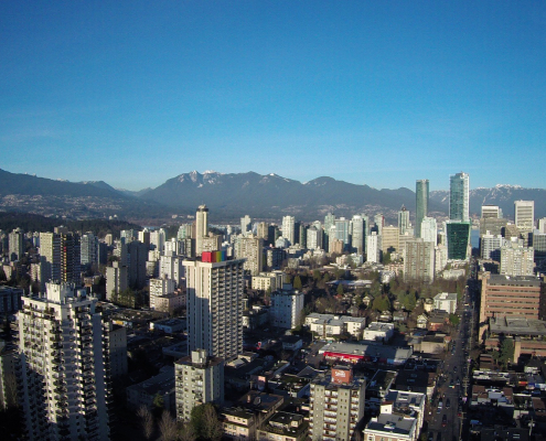
tmackinnon2023-02-15 16:51:202023-02-15 16:50:14GIS Jobs in Vancouver
 https://canadiangis.com/wp-content/uploads/Geospatial-Resume.png
1080
1920
tmackinnon
https://canadiangis.com/wp-content/uploads/CanadianGIS-rec-logo-2021-v4.png
tmackinnon2023-02-08 09:00:282023-02-08 09:02:10Let Your Geospatial Resume Get Noticed 24 – 7 – (free service)
 https://canadiangis.com/wp-content/uploads/geomatics-education-1-3.png
600
800
tmackinnon
https://canadiangis.com/wp-content/uploads/CanadianGIS-rec-logo-2021-v4.png
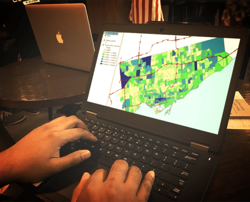
tmackinnon2022-12-28 23:30:012022-12-28 23:24:36Toronto GIS jobs
 https://canadiangis.com/wp-content/uploads/GIS-jobs-in-montreal-690737_1920.jpg
1113
1920
tmackinnon
https://canadiangis.com/wp-content/uploads/CanadianGIS-rec-logo-2021-v4.png
tmackinnon2021-07-01 18:40:522021-07-01 18:39:58GIS jobs in Montreal
 https://canadiangis.com/wp-content/uploads/1913898.jpg
2411
3624
tmackinnon
https://canadiangis.com/wp-content/uploads/CanadianGIS-rec-logo-2021-v4.png
tmackinnon2021-02-08 20:18:572021-04-16 19:04:10GIS jobs in British Columbia
https://canadiangis.com/wp-content/uploads/1913898.jpg
2411
3624
tmackinnon
https://canadiangis.com/wp-content/uploads/CanadianGIS-rec-logo-2021-v4.png
tmackinnon2021-02-08 20:18:572021-04-16 19:04:10GIS jobs in British ColumbiaEntering related keywords into the search box below, checking (or checking related categories) and pressing enter will refresh the page with more GIS or geomatics related jobs.


